Land Sherpa
Navigate the terrain of land acquisition and stakeholder management.
Purpose-built for the unique complexity of securing land rights for renewable energy projects. Manage plots with cadastral data and geometries, structure contracts across multiple mechanisms, track counterpart relationships, and monitor securement progression — all on an interactive map.
Sound familiar?
GIS is a bottleneck
Only one person on the team can open a GML file. Everyone else waits for the GIS analyst to plot boundaries, extract references, and produce a map they can understand.
Landowner relationships are opaque
Who talked to María García last? What was the outcome? Is she the same María García from the other project? Nobody knows without digging through WhatsApp threads.
Contracts scattered everywhere
The lease is in SharePoint, the amendment is in email, the signed version is in the lawyer's Drive, and the cadastral certificate is in a Windows folder named "DOCS_FINAL_v3".
Everything you need
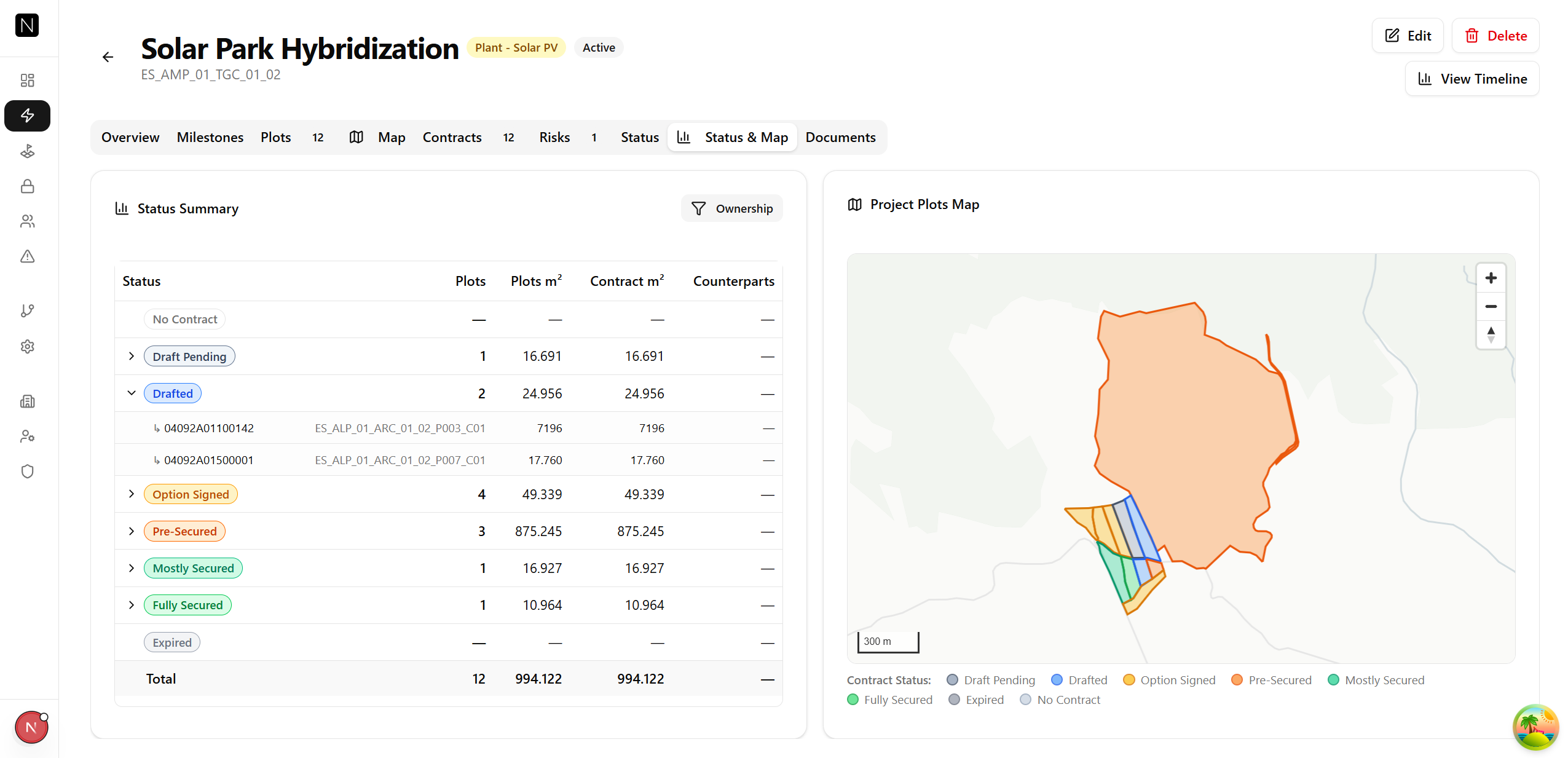
Plot management with map
Create plots with cadastral references, areas, and GeoJSON geometries. See every plot on an interactive map with boundaries drawn. Click to drill into plot details, contracts, and counterparts.
Spanish Cadastre integration
Upload GML files from the Spanish Catastro and Sherpa auto-extracts everything: geometry, cadastral reference, area, reference point coordinates. No GIS skills required.
Multi-mechanism contracts
Track leases, surface rights, purchases, expropriations, and concessions — all in one system. Each contract type has its own milestone progression from DraftPending through FullySecured.
Counterpart management
Track landowners, heirs, legal representatives, and other stakeholders with role and share assignment. See every counterpart's activity history and contract relationships across projects.
Activity logging
Record every call, meeting, email, and site visit linked to the relevant contract or counterpart. Build a complete negotiation timeline without losing notes between team members.
Document management
Attach documents to contracts and projects. Upload contracts, cadastral certificates, notarial deeds, and correspondence. Download, version, and track what's been submitted.
How it works
Create your project and import land data
Set up a project with its location and boundary. Upload GML files from the Catastro — Sherpa auto-creates plots with geometry, cadastral reference, and area already filled in.
Structure your contracts and relationships
Create contracts linking plots to counterparts. Define the mechanism (lease, purchase, surface right), assign counterpart shares, and set milestone targets.
Track progress on the map
Open the interactive map to see which plots are secured, pending, or at risk. Log activities, attach documents, and monitor the securement pipeline from first contact to fully secured.
Ready to take control of your land acquisition pipeline?
Replace your fragmented tools with a map-first platform built for renewable energy.